March 2023 – July 2025
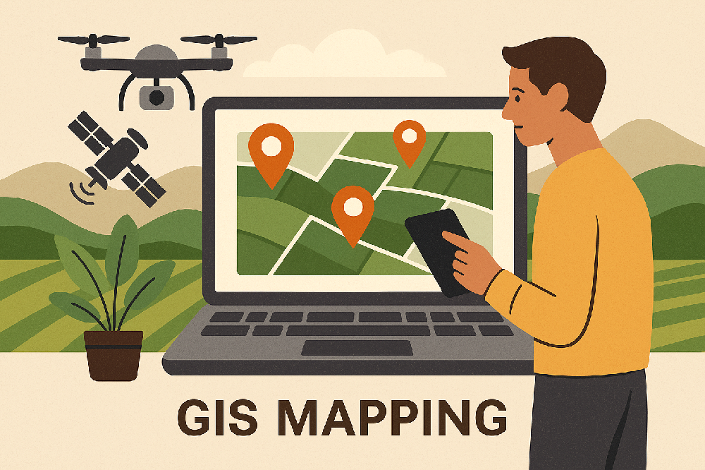
What if every plot of land had its own “ID card” and “genetic code”? That’s what this project aimed to achieve: digitizing thousands of acres through satellite imagery, UAVs, and on-the-ground measurements to enable precision agriculture at scale.
I served as the data foundation builder, focusing on four core layers:
Spatial genes: Using satellite imagery and UAV mapping, I captured precise spatial data for each plot — its shape, area, and location — creating a unique digital ID.
Soil genes: I collected and organized soil data such as pH, NPK content, and texture. Fields were categorized into A/B/C grades to guide precision fertilization strategies.
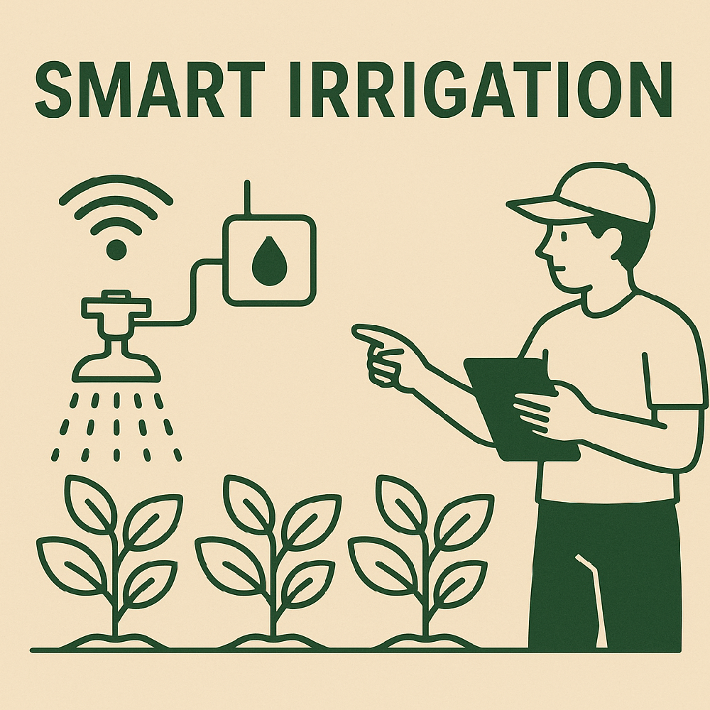
Environmental genes: I helped deploy weather stations to collect real-time temperature, humidity, rainfall, and solar radiation data, comparing these with historical trends to anticipate microclimate changes.
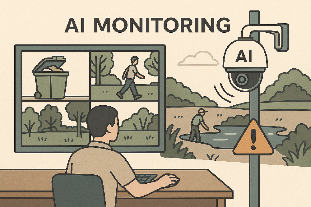
Growth expression: UAVs equipped with multispectral cameras allowed us to quickly assess crop growth and detect pest risks, generating clear visual maps.
All these standardized datasets were integrated into a GIS platform, producing intuitive visualizations. Decision-makers could then answer vital questions — what to plant, how much to fertilize, how much to irrigate — with data-driven confidence.

Comments